CropperMap.com is a service of Cropper GIS, LLC
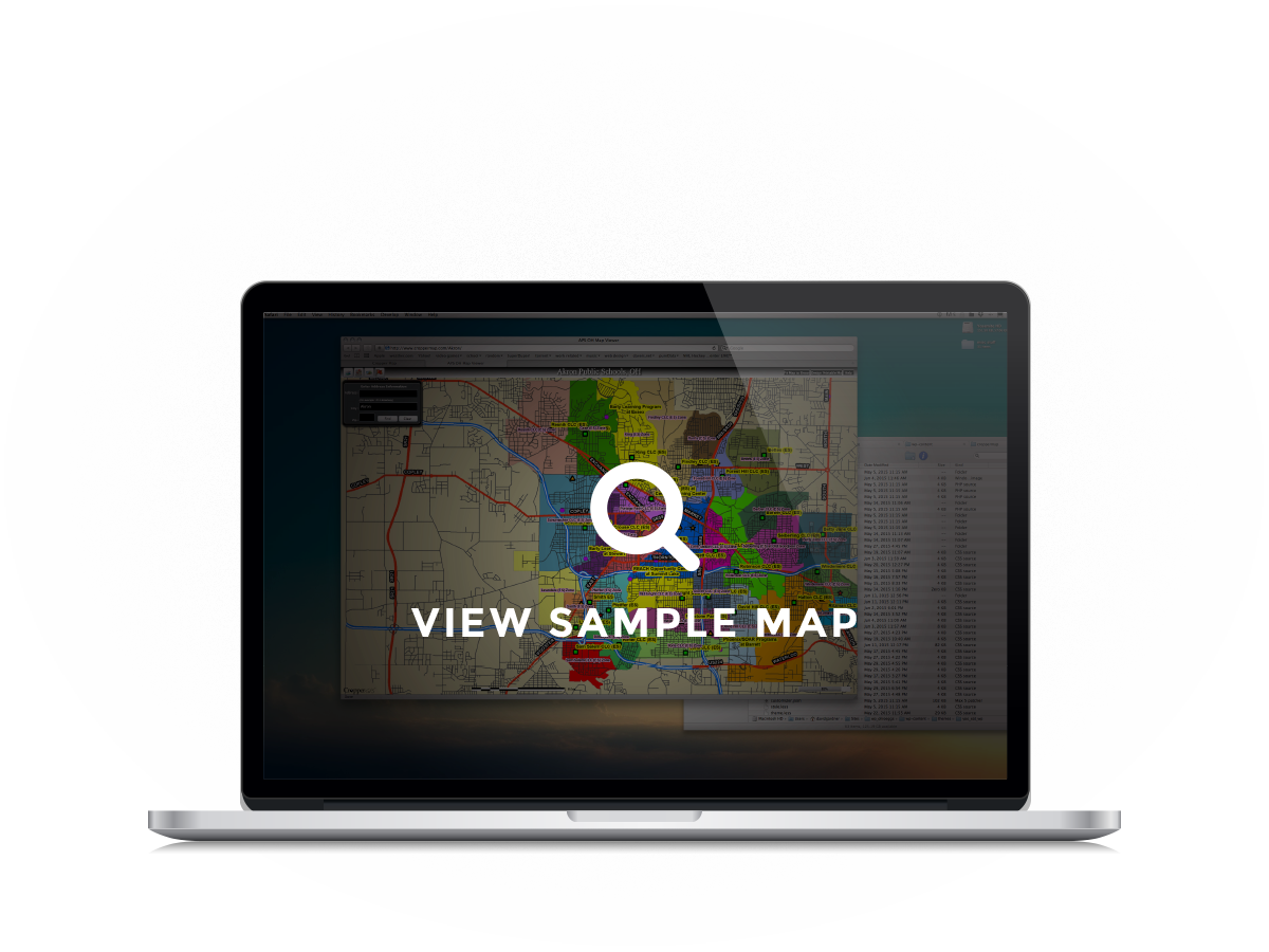
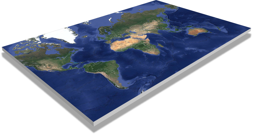
With use of cutting-edge technology, Cropper Map enables its clients to view information about their area without having to be constrained by the old methods of delivering maps. With CropperMap.com anybody is able to view maps over the internet, while still having the option to provide secure data to select users. Please take a moment to view our sample map and see what CropperMap.com can do for your organization.
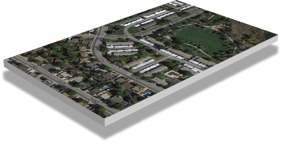

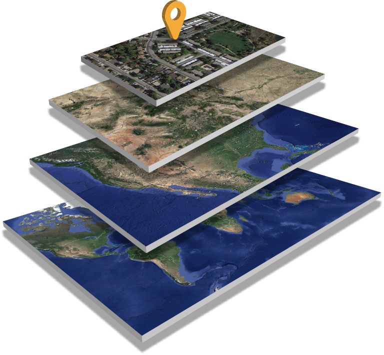
View local data on the map that relates specifically to your user or viewing base; such as property lines, school locations, bus stops, medical facilities, or retail locations.
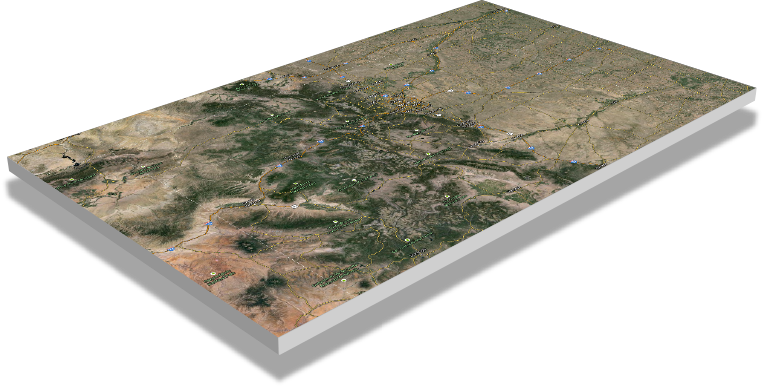
View regional data related to the area, including municipality borders, water bodies, roads, and other geographic features.
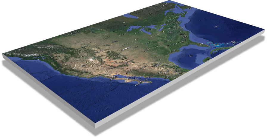
View national data in relation to your area, such as U.S. Census Bureau Demographics.
Utilize global imagery and elevation data on your site to help understand what is actually on the ground!
View local data on the map that relates specifically to your user or viewing base; such as property lines, school locations, bust stops, medical facilities, or retail locations.
View regional data related to the area, including municipality borders, water bodies, roads, and other geographic features.
View national data in relation to your area, such as U.S. Census Bureau Demographics.
Utilize global imagery and elevation data on your site to help understand what is actually on the ground!
One of the primary functions of CropperMap.com is to provide information to the people you serve. For instance, if a school district is utizing the site, any parent can go to the website and find out useful info such as:
The primary objective is to enable the public with the ability to answer questions that are commonly asked the school district administration. School administrators and secretaries often use the site to answer questions from parents that aren't aware of the site. This site can be utilized by any other business or agency that has multiple locations such as retail or food service locations.
CropperMap sites can also be secured via encrypted password protection. This enables administrators to view sensitive data online such as student locations or other planning data that administrators cannot share with the public.
CropperMap serves as an excellent tool when working on specific projects with various stakeholders. The site has been used to help facilitate meetings with committees of various backgrounds. For instance, if the client is working through a complex redistricting project, CropperMap can serve as a portal to present various boundary options for the committee members. Committee members can leverage the power of the map with any computer and an internet connection. Other examples could be levy/bond committees using a custom website that depicts voter precincts, registered voter locations, and voter history. The purpose is to enable committees or special use groups to make better informed decisions.
Puerto Rico is planning the future of education for the Island's estimated 4,000,000 residents. There are over 1,000 schools across the island in varying conditions. Puerto Rico is tackling this huge endeavor by sampling a subset of schools throughout the area. This subset of schools are being assessed by architects/engineers and information is being collected and delivered to administrators across the island. Puerto Rico's school system is divided into multiple planning regions, and each region has an administration. Critical information related to the project must be delivered to the various administrations as the project continues, and Croppermap.com has proven to be an essential platform for delivering this information.
Cropper GIS Consulting, the developers of CropperMap.com, worked with the Puerto Rico adminstrators to develop a web portal that can be used as a central repository for the project's information. The site is utilized by school district personnel, architects, engineers, and state administrators as they continue to work through the project. The site has been critical in providing the most current data to the stakeholders in a very efficient manner. As soon as new information is ready for review, it is posted to the website for everyone to see.
Cropper GIS specializes in demographic and facility planning for K-12 school systems, cities, counties, and federal agencies. Our services include redistricting, GIS mapping, demographic analysis and forecasting, GIS consulting, and more.
Visit us at: www.croppergis.com